- November 20, 2022
Cityworks AMS | Village of Mundelein, IL
Cityworks AMS | Village of Mundelein, IL
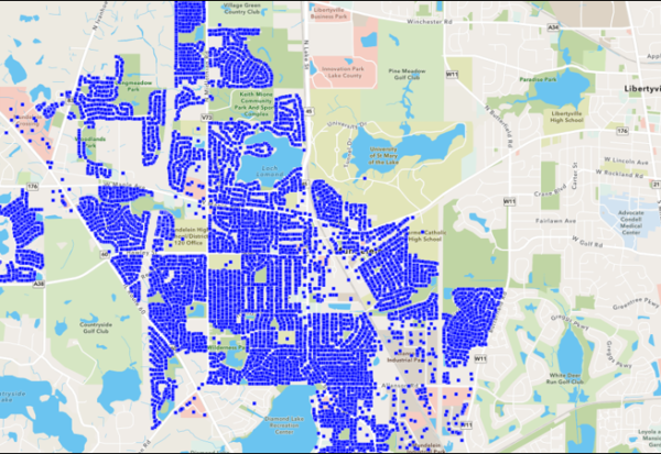
The Village of Mundelein launches Cityworks AMS for Streets, Admin, Facilities, Fleet, Utilities, Finance and WWTP departments.
- September 6, 2022
Park Response Planning | Northville Township, MI
Park Response Planning | Northville Township, MI
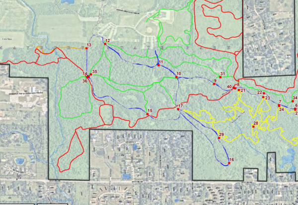
Northville Township (MI) collects accurate GPS locations for newly installed emergency sign locations. ESRI GIS is utilized to manage locations throughout the vast 1,000+ acre Maybury Park and comprehensive trail system.
Meter & Backflow Management in Cityworks – Village of Arlington Heights, IL
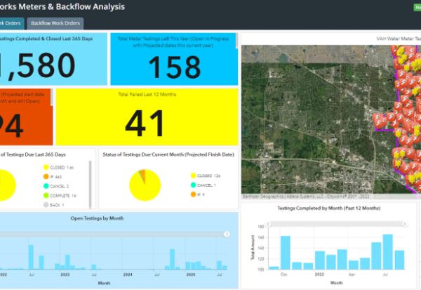
The Village of Arlington Heights extends Cityworks to their contractors with mobile applications to streamline meter and backflow testing with internal operations and management.
- August 10, 2022
Tree Collection & Management | City of Allen Park, MI
Tree Collection & Management | City of Allen Park, MI
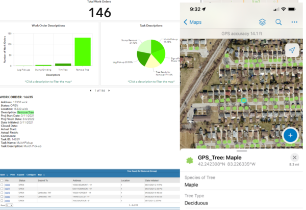
City of Allen Park collects 10K+ trees identified by species using ESRI ArcGIS Field Maps. Asset data was integrated into Cityworks AMS to assist with managing forestry operations and keeping inventory current for maintenance, plantings, and removal schedules.
- August 6, 2022
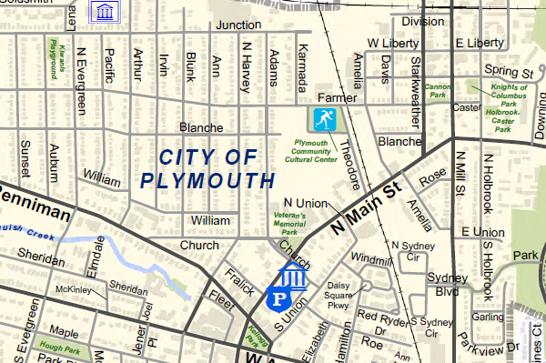
Street Map Development | City of Plymouth, MI
Street Map Development | City of Plymouth, MI
City of Plymouth (MI) updates printable street map and centerline data for Public Safety. This base map layer is utilized throughout the organization. Data for street names to provides current street locations with corresponding subdivisions and sections.
- April 24, 2022
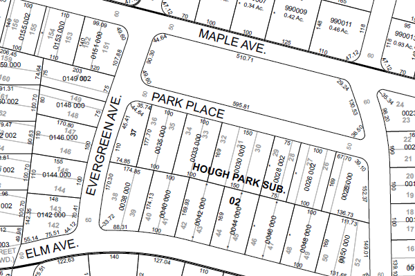
Tax Map Development | City of Plymouth, MI
Tax Map Development | City of Plymouth, MI
Partnered with the City of Plymouth (MI) to develop GIS tax plat map pages. All plat and parcel boundaries were created with high-accurate coordinate geometry tools. Maps are available to the public with a custom interactive web application.
- April 10, 2022
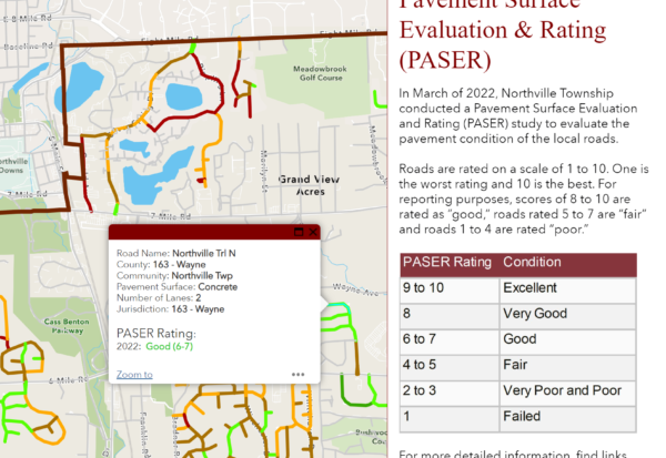
Streets Ratings (PASER) | Northville Township, MI
Streets Ratings (PASER) | Northville Township, MI
Northville Township (MI) launches interactive app highlighting results from the Pavement Surface Evaluation and Rating (PASER) study to display pavement conditions of the local roads.
- January 22, 2022
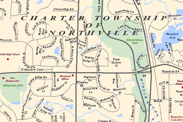
Street Map Development | Northville Township, MI
Street Map Development | Northville Township, MI
Northville Township (MI) updates printable street map and centerline data for enterprise GIS. This base map layer is utilized throughout the organization to provides current street locations with corresponding subdivisions and sections.

